
Hydrology in the Four Towns
Dover, Readsboro, Whitingham, and Wilmington, VT are connected by a series of waterbodies that are part of the Deerfield River Valley watershed. Whitingham and Wilmington are home to the Harriman Reservoir in the Deerfield River Valley. Dover and Readsboro are at higher elevations and see the rivers running through mountainous terrain. The proximity of our study area to rivers puts it at a higher risk of flood damage.
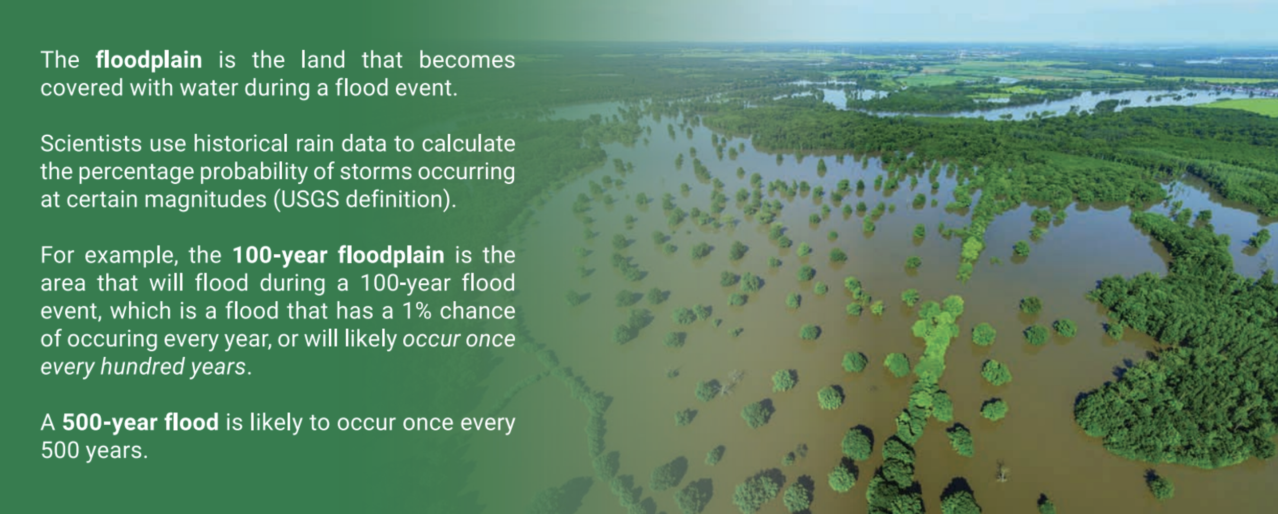
Inundation flooding is the
overflow of water from the
riverbed that happens during
high intensity rainfall. It
impacts low elevations most.
Fluvial Erosion is erosion
that happens during high
velocity storm events. It
impacts steep, mountainous
regions most.

Land Subsidence is the
downward vertical movement
of the Earth’s surface, often
caused by water movements
and fluvial erosion.


Zoning is a system used by local governments to regulate land use based on location.
Land is divided into zoning districts with rules about what type of development is allowed. Common zoning districts are industrial, commercial, and residential land uses. In southern Vermont, the common districts used are village, rural residential, rural, and conservation.
Flood Overlay Districts are a zoning strategy used to overlay development restrictions on top of zoning regulations in areas where flooding is projected as a risk.